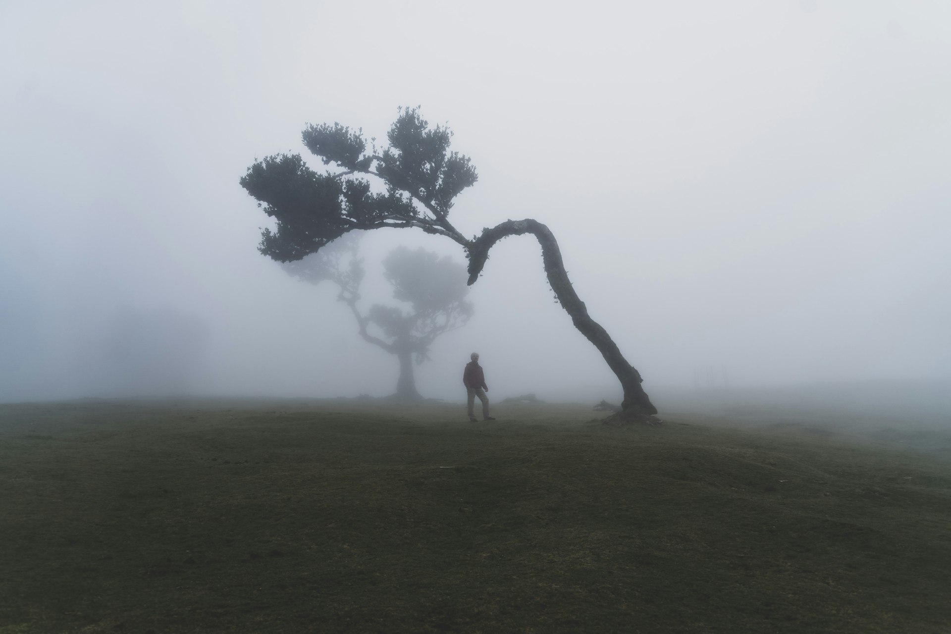
The PR13 Vereda do Fanal crosses one of the best-preserved areas of Madeira's UNESCO-listed laurel forest. It starts on the Paul da Serra plateau and ends at Fanal, famous for its ancient til trees that often stand in the mist – one of the most atmospheric places on the island.
PR13 at a glance
- Start: ER 209, Assobiadores (Paul da Serra)
- End: ER 209, Fanal
- Distance: 10.8 km one way
- Duration: approx. 4 hours
- Difficulty: moderate
- Altitude: between approx. 1,130 and 1,420 m
- Booking: mandatory via the SIMplifica portal
The route
The trail leads through a wide green area of native forest. At the place known as "sítio do Fio" you can still see the old cable system once used to transport wood and shrubs down to Chão da Ribeira and Seixal. The hike ends at Fanal, a small volcanic crater classified as a rest and quiet reserve within the Madeira Natural Park. Here, centuries-old til trees (Ocotea foetens) – some older than the discovery of the island – create a magical landscape, especially when fog drifts through.
Booking and fees
PR13 must be booked in advance on SIMplifica. The fee is €4.50 per person; children up to 12 and Madeira residents are exempt.
Fees and rules can change – check SIMplifica before you go.
Getting there and back
Start and end are both on the ER 209 but several kilometres apart, so plan a second car, a taxi or a pick-up. If you only want to see the famous trees, you can also drive directly to Fanal and walk around the forest there.
Tips
- Fog is common and part of the magic – but bring a warm, waterproof layer.
- Stay on the paths and respect the protected area.
- Early morning or late afternoon light is best for photos at Fanal.
FAQ
Do I need to book PR13 to visit Fanal?
You need a booking to hike the classified PR13 trail. Check SIMplifica for the current rules if you only plan to visit the Fanal area.
Is the Vereda do Fanal a loop?
No. It is a one-way trail from Assobiadores to Fanal, so you need transport back to the start.
Keep exploring
Browse all trails on our hiking overview or see them on my hiking map.